Frontiers of Stillness
Documenting the raw physical geometries and fragile quietude of Earth's extreme sub-polar margins.
true landscape photography in polar and alpine frontiers is an exercise in surrender. It is not about forcing an aesthetic agenda upon the wilderness, but surviving its tempo until the land reveals its quietest architecture.
Over seven years of continuous field expeditions across Iceland's basalt deserts, New Zealand's temperate rainforests, and Patagonia's storm-sculpted granite towers, every frame has been produced under strict zero-trace conservation standards. Working predominantly with large medium-format sensors and slow mechanical exposures, patience is the primary instrument.
Archival Integrity & Museum Standards
Each capture represents a single, unmanipulated optical plate. In-studio printing is executed exclusively on 100% cotton rag archival papers using pigment-based inks to ensure centuries of dimensional permanence.
“When temperatures dip below minus twenty and katabatic winds scream across the icecap, the camera becomes an extension of breathing—measured, deliberate, and entirely present.”
Beyond optical documentation, VISTA partners directly with glaciological monitoring programs and wilderness trusts in the southern hemisphere. A percentage of every fine art acquisition funds non-invasive territorial climate tracking and public trail restoration projects across sensitive sub-polar habitats.
Field Dispatch Ledger
Icelandic Highlands & Glacial Lagoons
64°08'N 16°11'WTracking glacial retreat across Vatnajökull tongue over 24-day winter bivouac. Waiting up to 14 hours for solitary light breaches across obsidian sands.
Fiordland & Southern Alps, NZ
44°40'S 167°55'ENavigating primeval southern beech forests and sheer fjord granite. Documenting ancient moss ecosystems in relentless temperamental precipitation.
Los Glaciares & Southern Icefield, Patagonia
49°16'S 73°02'WDocumenting wind-sheared granite monoliths and calving ice walls under storm fronts born in the Roaring Forties.
Acquisitions & Monograph Inquiries
Custom museum curation, institutional prints, and editorial licensing.
Behind the Lens & Extreme Working Conditions
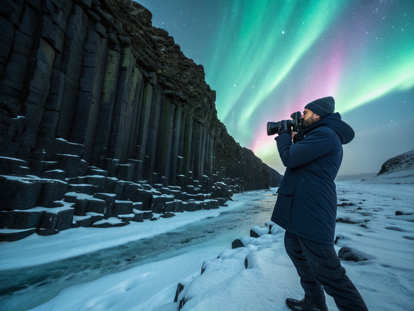
Vatnajökull Ice Scrim
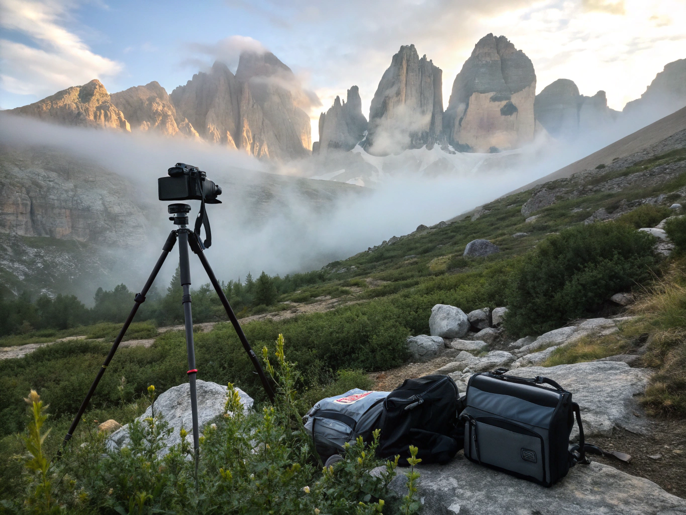
Milford Sound Primeval Mist
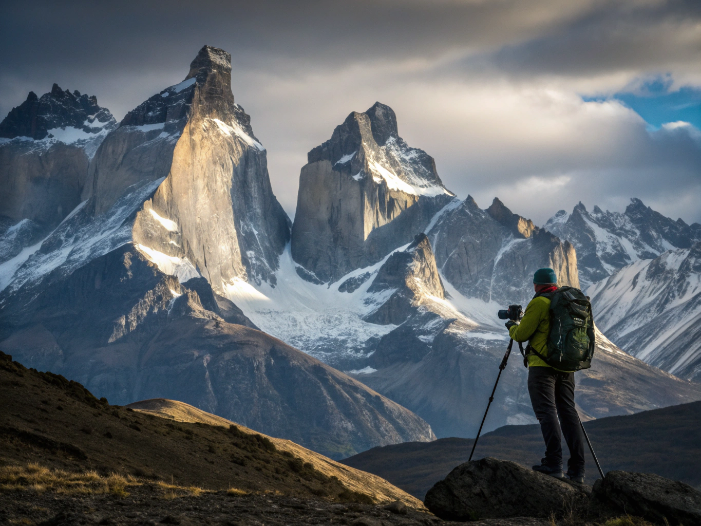
Cerro Torre Storm Front
A deliberate journey from wild terrain to archival print.
Every landscape image follows a rigorous field workflow designed to capture the raw, monumental scale of the wilderness with absolute precision.
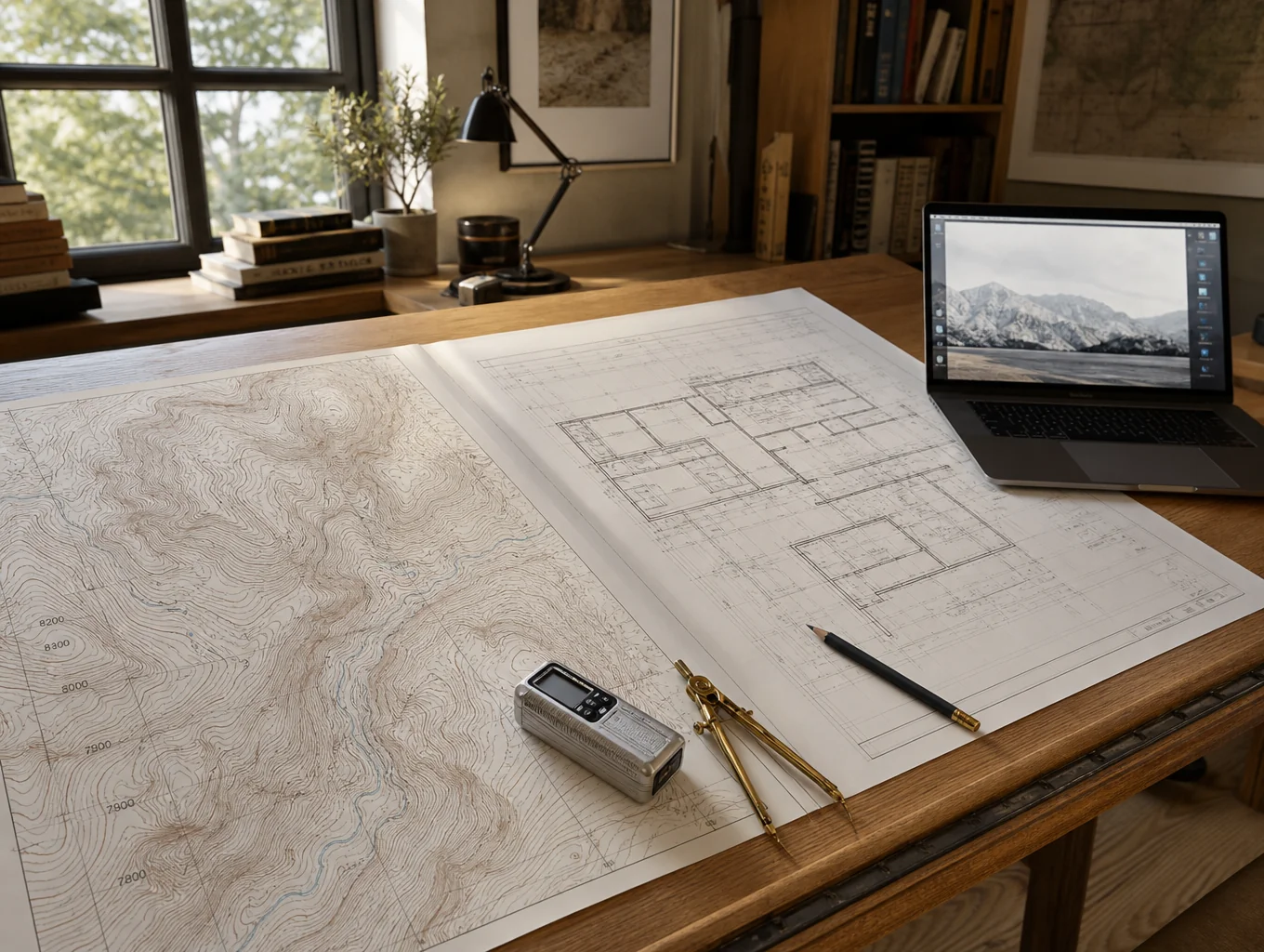
Route Planning
We map out remote terrain, analyze seasonal weather patterns, and secure necessary permits to ensure safe access to the most dramatic landscapes in the region.
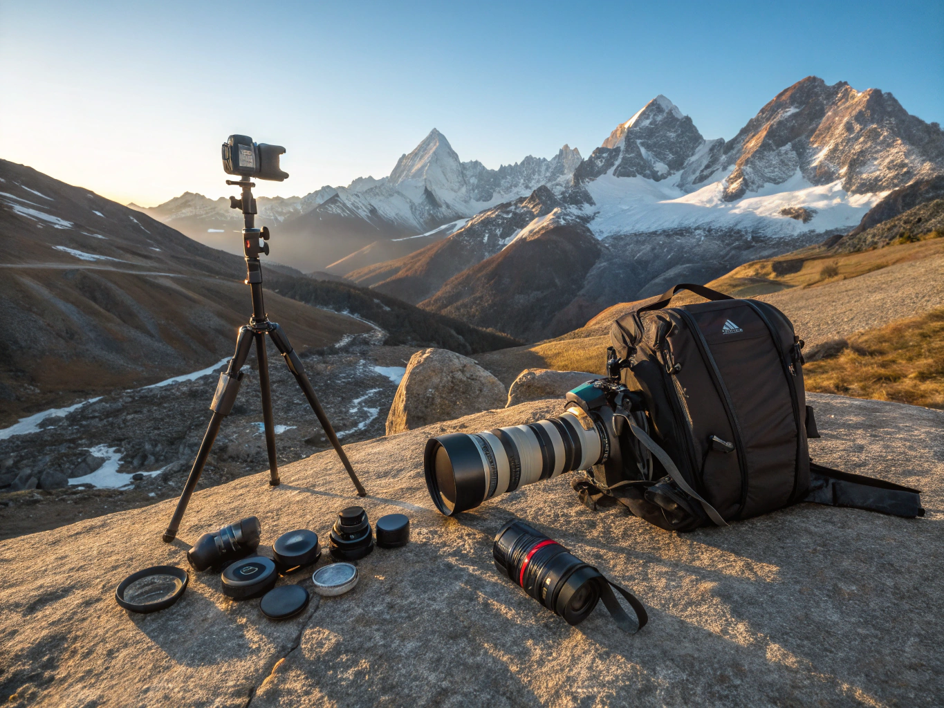
Field Preparation
Rigorous testing of camera systems, cold-weather protection, and power management to ensure reliability in extreme environments like Iceland or Patagonia.
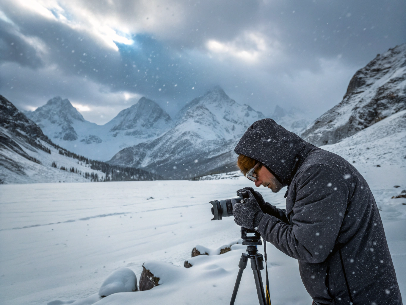
On-Site Capture
Waiting for the perfect atmospheric conditions to capture the raw, monumental scale of the landscape using high-resolution medium format systems.

Digital Workflow
Meticulous color profiling and tone sculpting to preserve the natural, authentic hues of the wilderness, ensuring archival quality for large-format prints.
Commission a bespoke landscape series.
Discuss your project requirements, print acquisition, or expedition collaboration with our team.